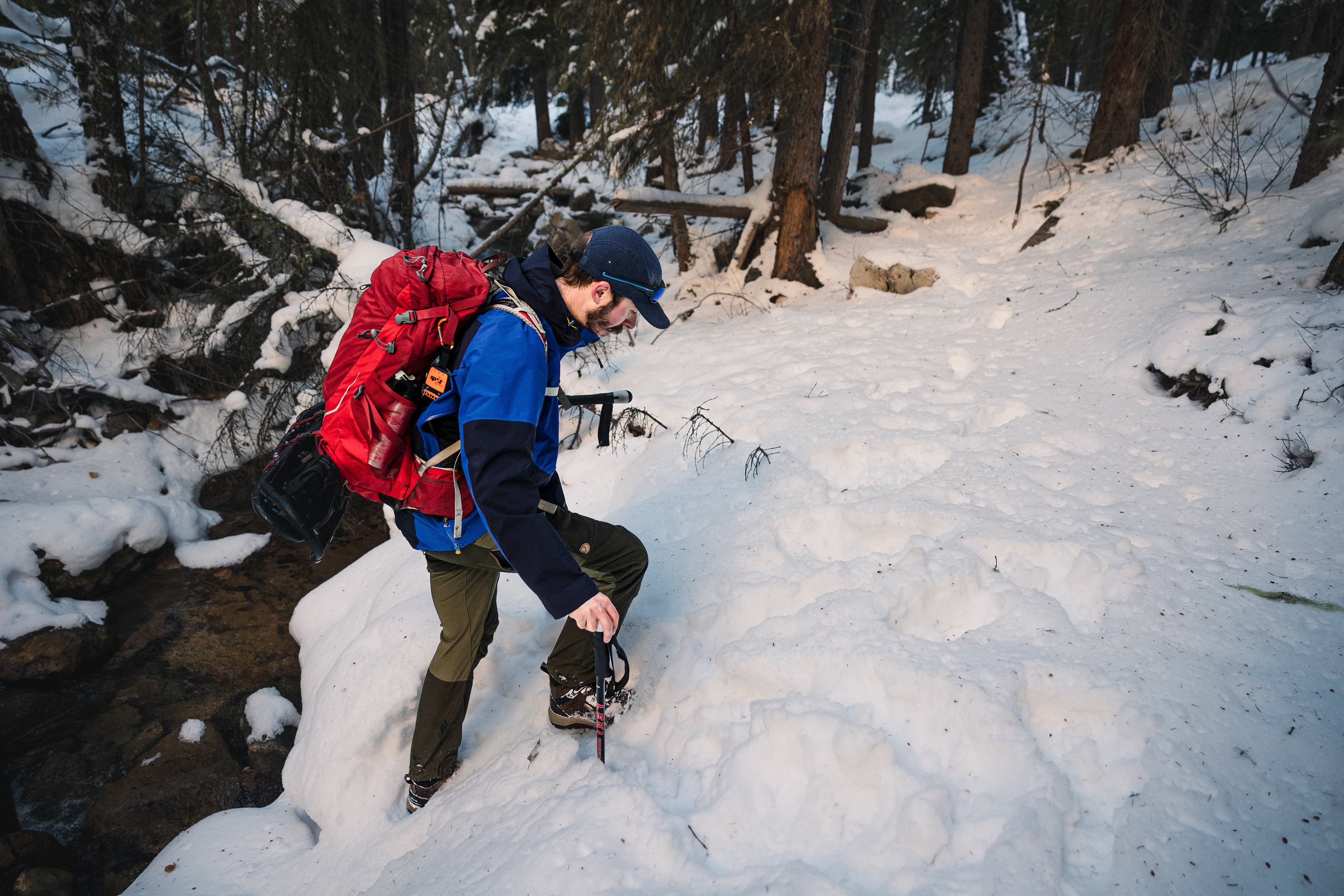


My first experience of back-country walking, and it was a great introduction to winter hiking. The number one thing I learnt, research the route prior to beginning and assess the route during the hike as a group. I say these as this walk was certainly a little awkward due to the lack of signposting and due to many of the land features being covered in snow, making it difficult to follow any directions that may work during the summer seasons. Thankfully with Sam being a qualified British Mountain Guide and Andrew being a Canadian Mountain Guide, we were in good hands so felt confident.
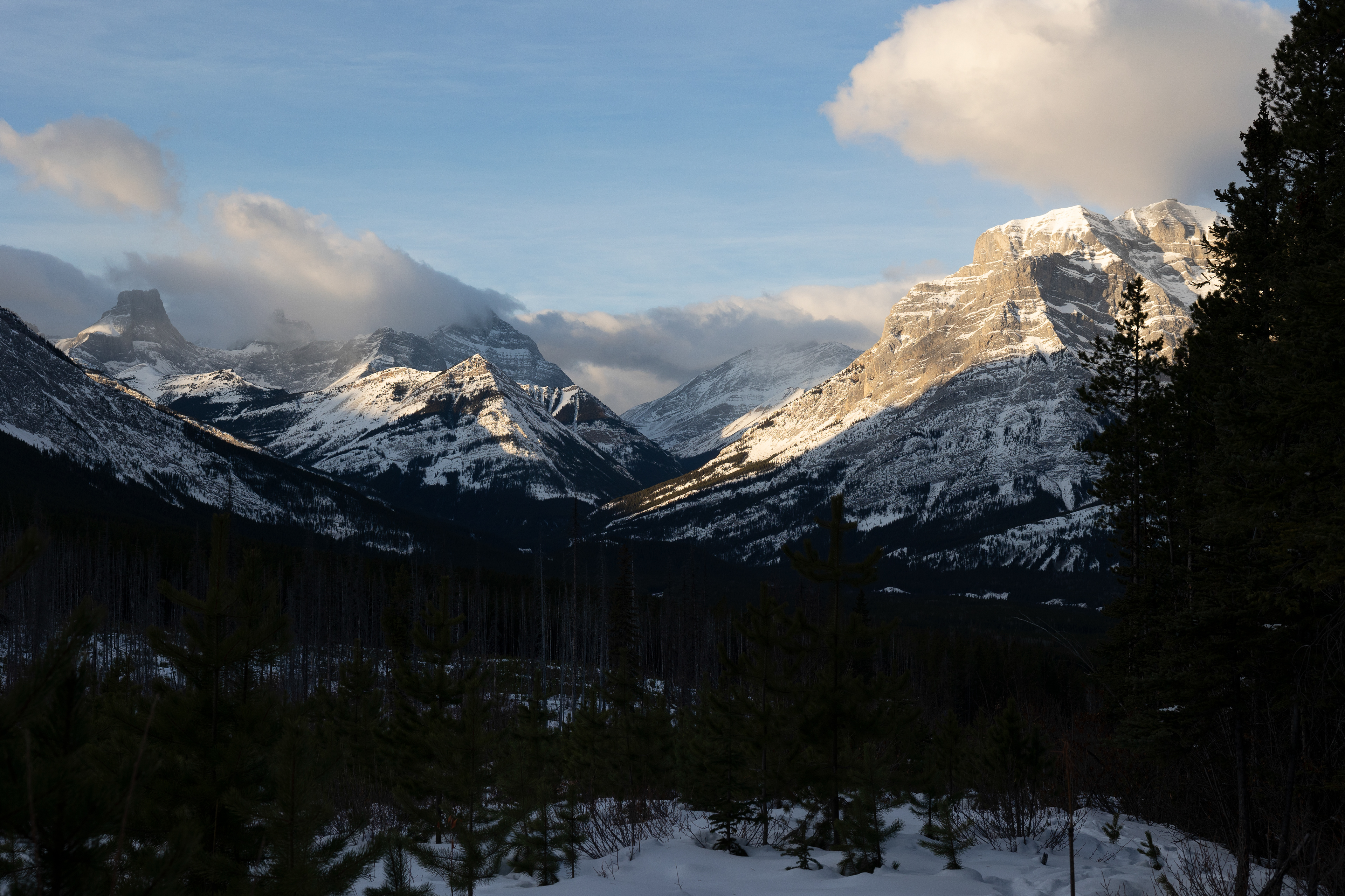
We set off from the car park just as the sky was hinting at a beautiful orange sunrise, as the first wisps of cloud caught the morning sun. We followed a well-walked trail for the first 2 km before we had to try and locate the point at which we split from the main path and headed up the slopes of Volcano Peak (not an actual volcano). The first instruction according to pre-walk planning and AllTrails (a very good app for hikes) was to look for a small creek (stream) that we would follow for a small way before crossing and following a tree line at the side of a large clearing which had been created to combat forest fires.
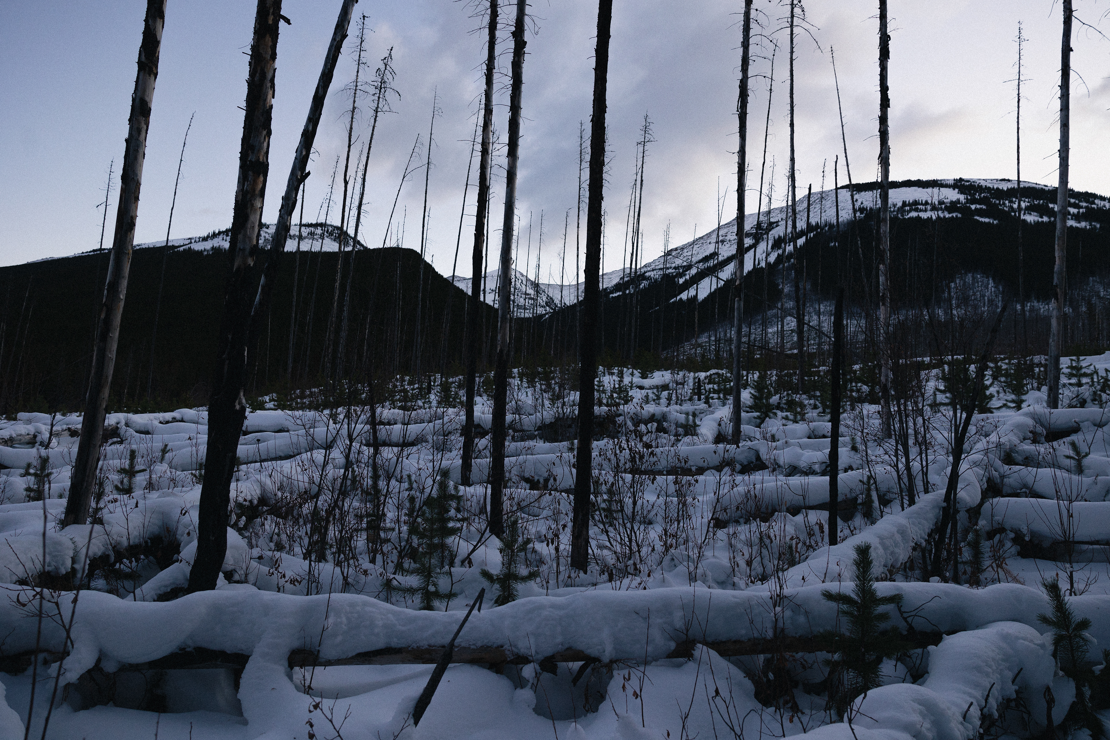
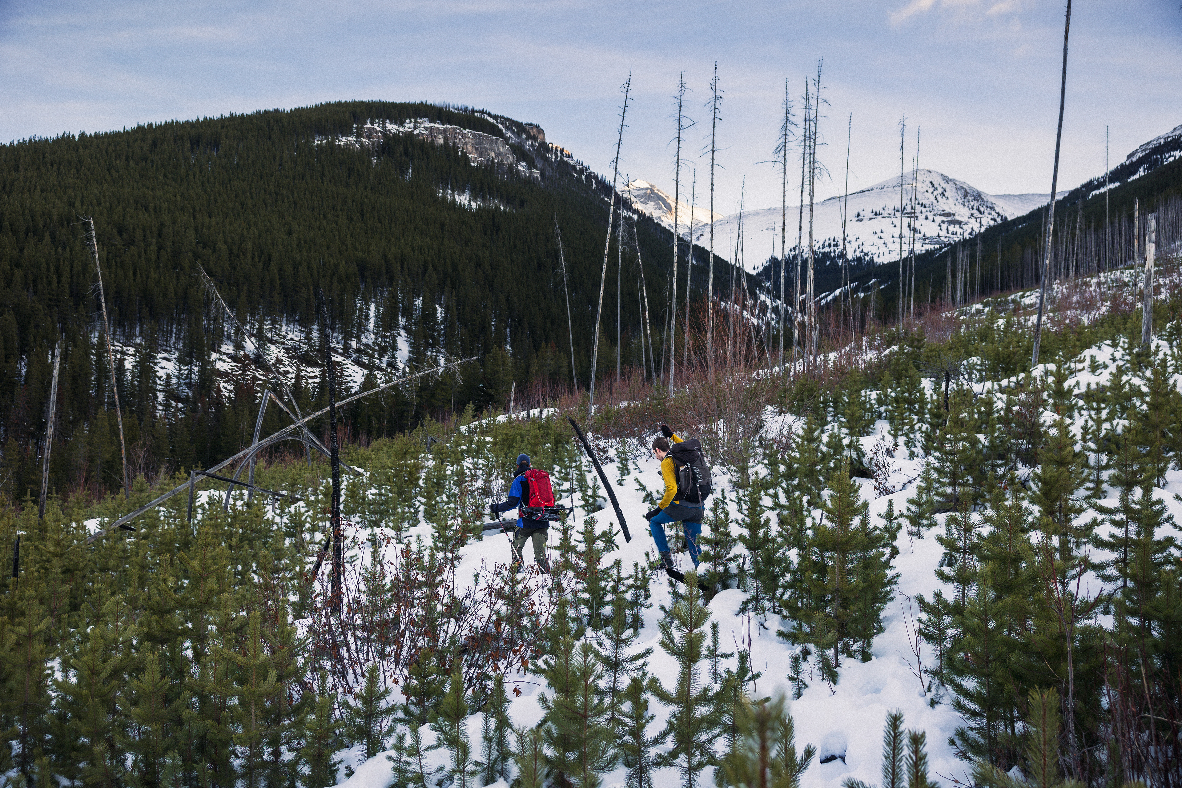
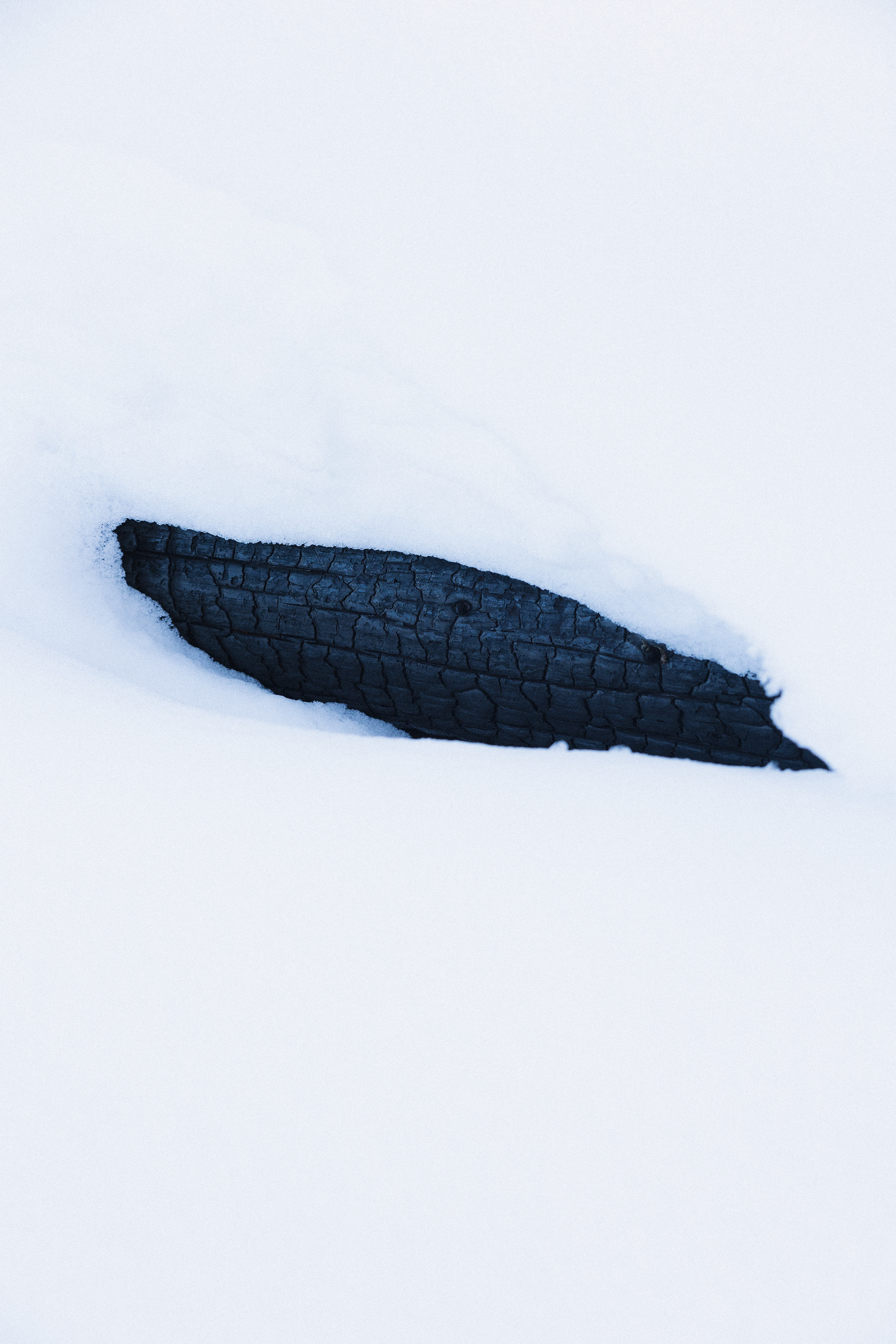
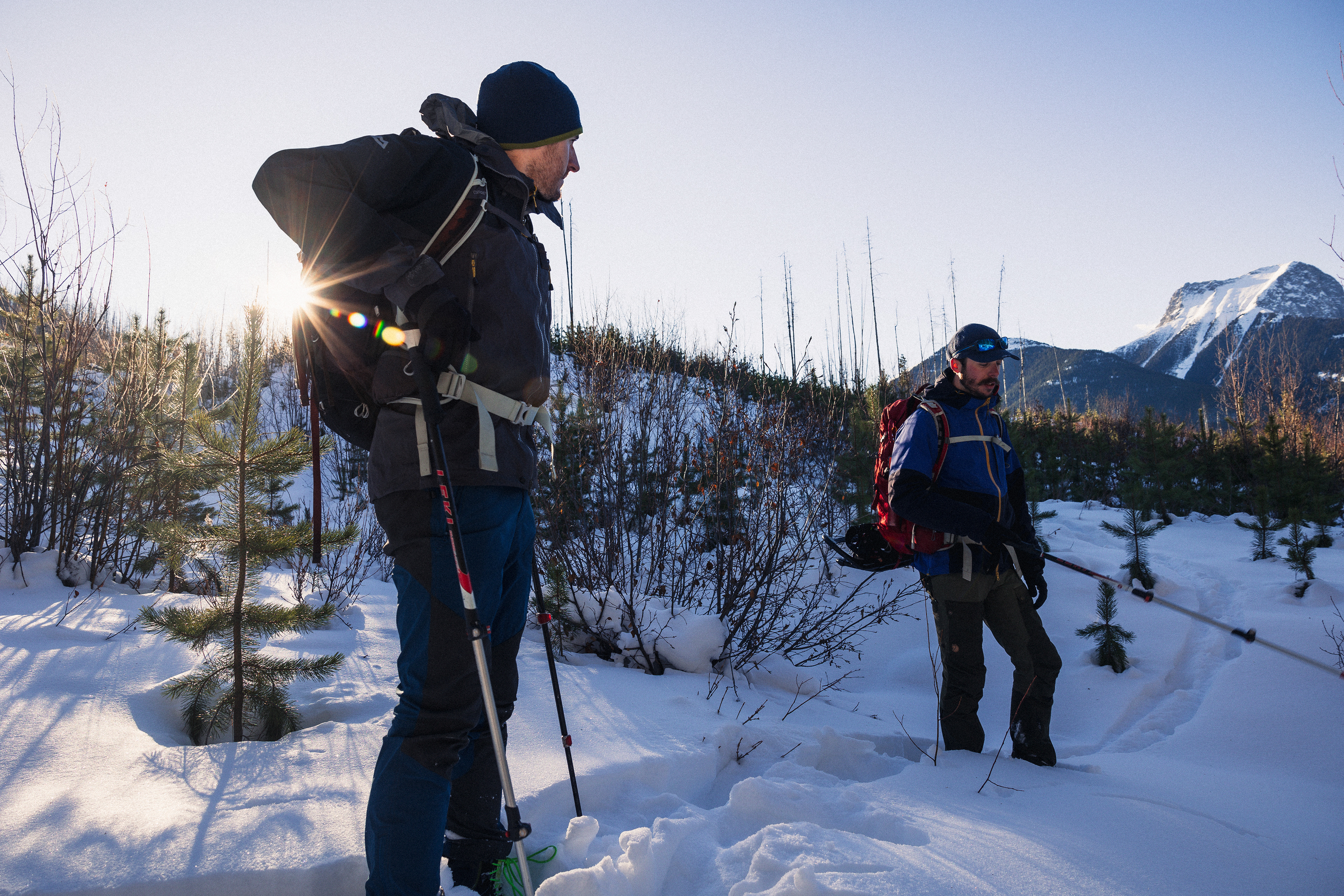
After a little detour, we found our creek and headed into the trees and off the path, we soon crossed the largely frozen and snow-covered waterway and came out into the forest clearing. This clearing which had been purposely burnt to create gaps in the forest, hopefully stopping or at least slowing down forest fires in the future was an entirely new landscape for me to cross. The snow was up to my waist deep at points and under the snow was a crisscrossed maze of felled burnt trees, which slowed our progress considerably. It was beautiful but slightly haunting to see the charcoal spires sticking out of the blanket of snow, creating quite a contrast. Knowing how hot the landscape must have burnt to now being frozen solid.
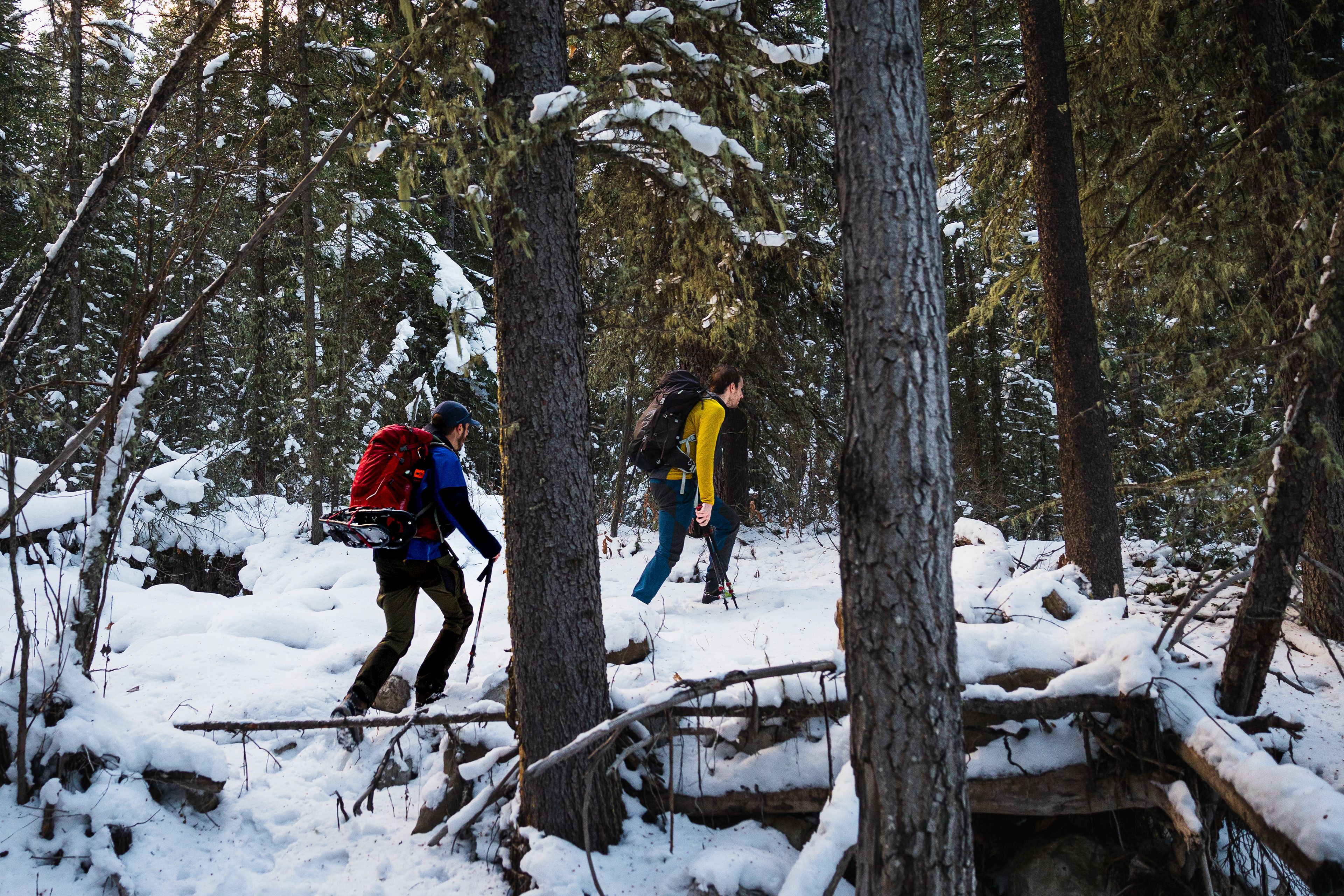
After slowly ascending through this frozen burnt maze for about an hour, we still had not found any real sign of a footpath or any inkling of the route up the hillside. As the terrain began to become steeper and it still just as difficult to navigate underfoot, we took a break and assessed whether to continue or start to make our way back down. We decided on the latter, as despite us setting off at sunrise, you don’t get a whole lot of daylight here in the mountains at this time of year and if we had continued at the pace we had been going and somehow reached the top, we would have almost certainly been descending in darkness later that afternoon, which is not something we fancied.
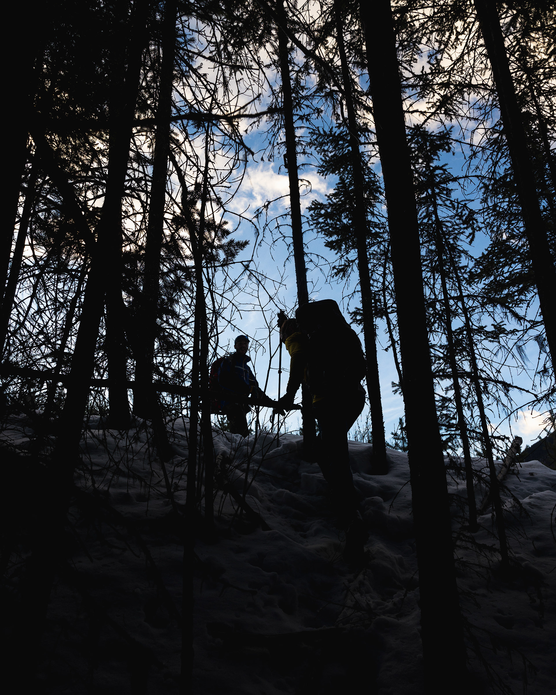
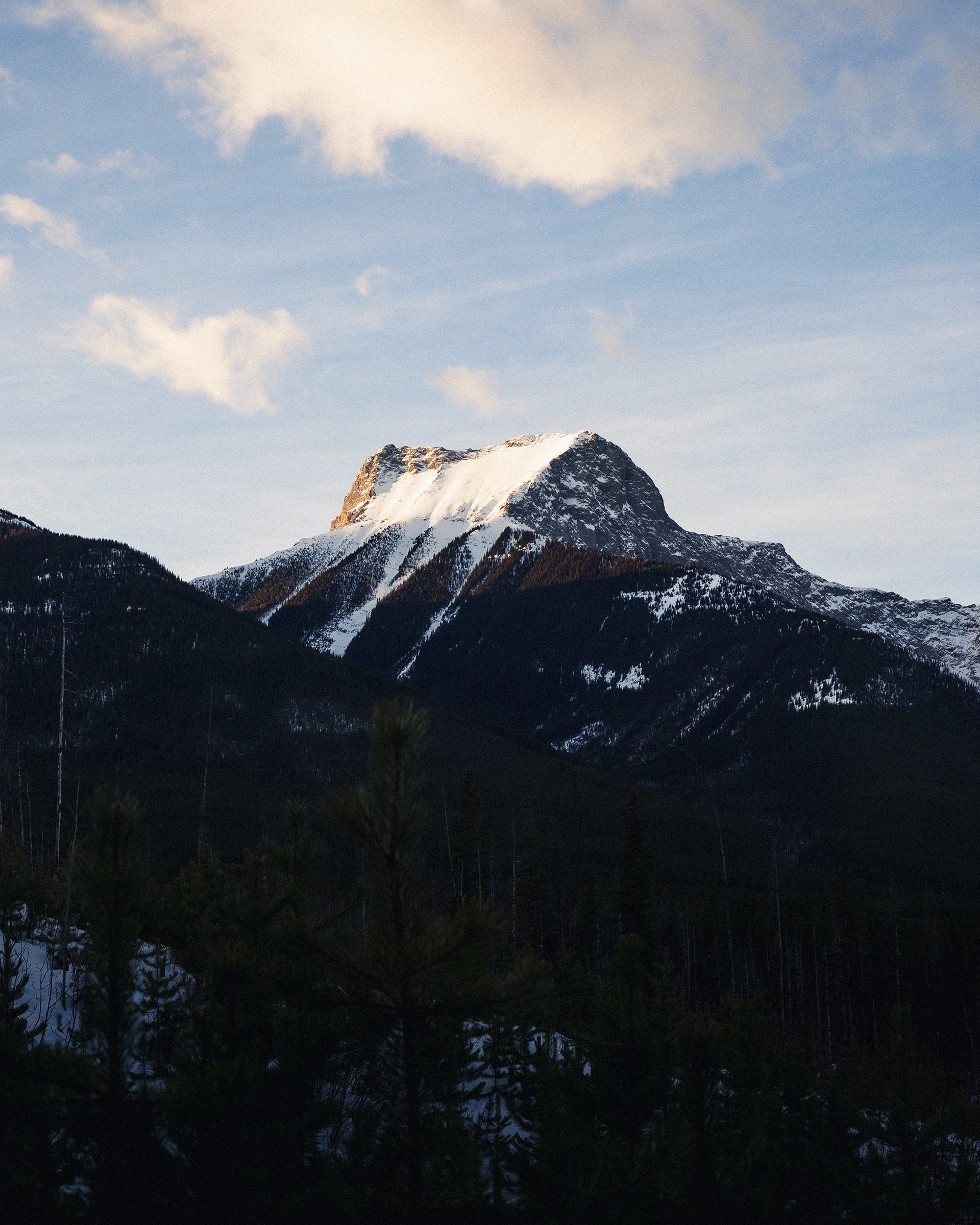
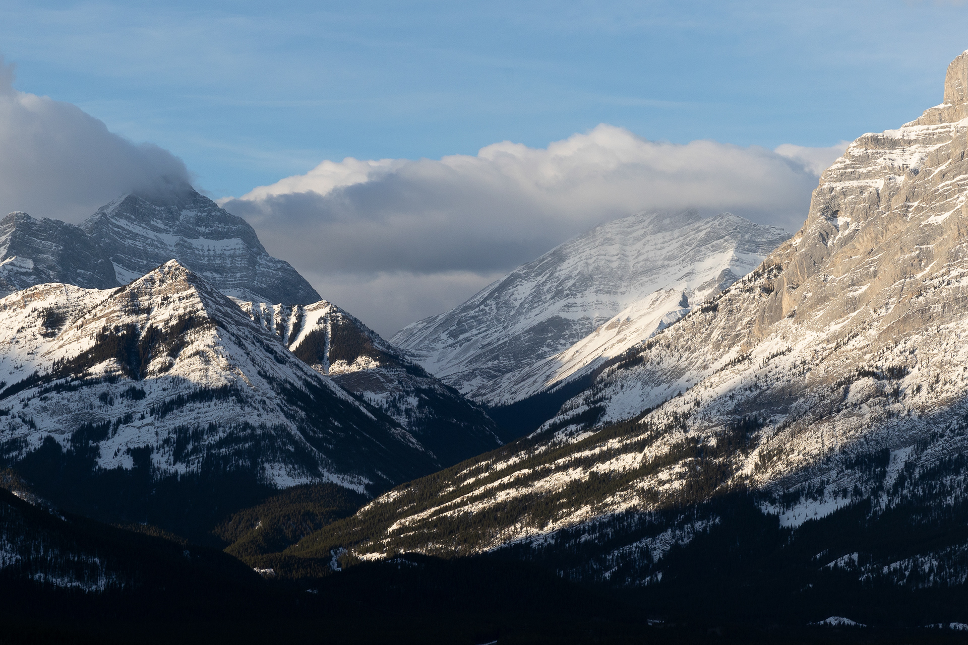
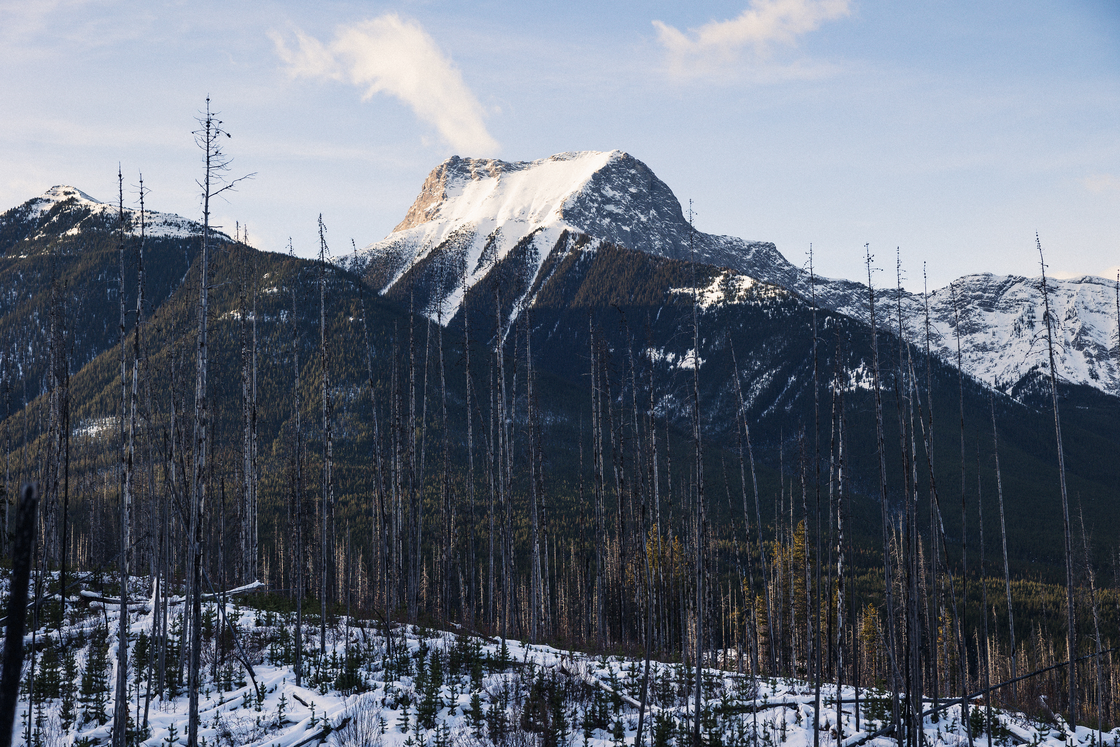
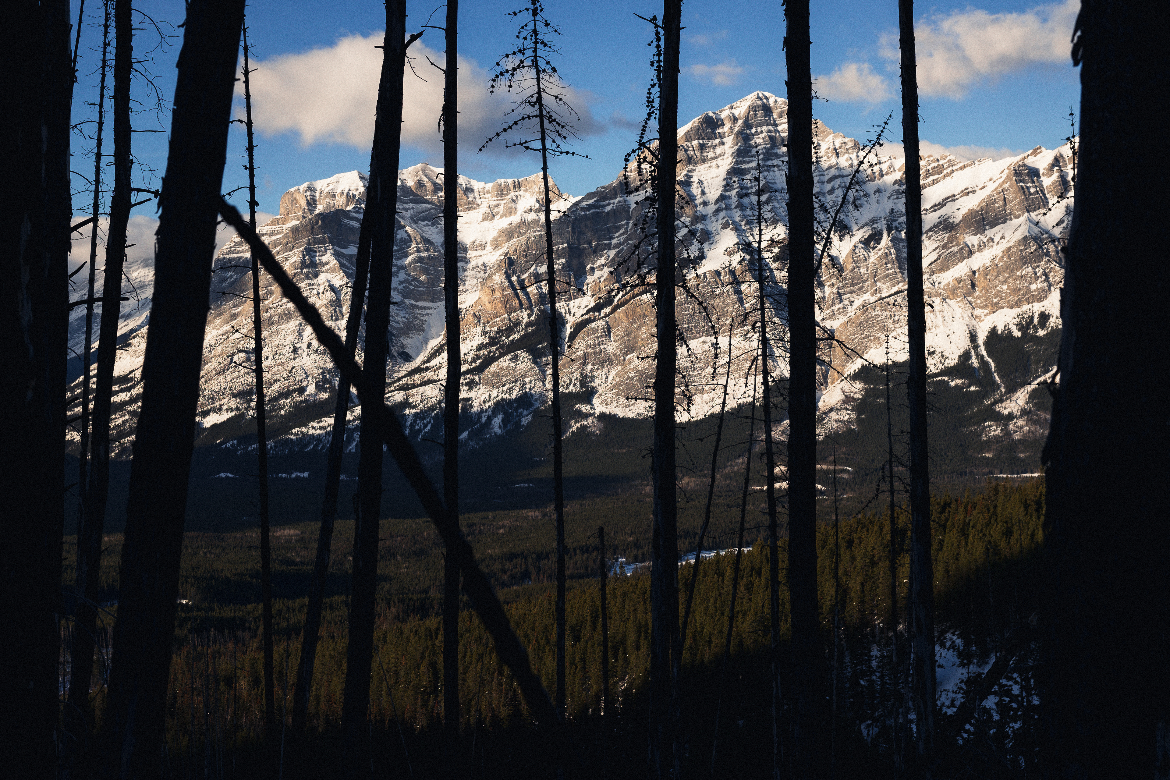
A quick snack stop as we gazed out onto the Kananaskis mountain range, which was absolutely stunning before we started to head back down. On our way down we kept to the forested section a bit more as it was easier underfoot but also found signs of what might be the footpath, at least in the summer possibly. Red ribbons ran up and down the slope, which is a common sign of a footpath here in the Rockies, but there were definitely no signs of footprints in the snow, human ones anyway.
Following these red ribbons, we came back down through the terrain much quicker than we had gone up and it was much easier too, but still, this was definitely a route you want to do in winter unless you were planning on camping somewhere or walking a large part of what is quite a short hike, in the dark.
Once at the bottom, it was back onto the well-walked footpath where we came across one other couple who were on their way to a frozen waterfall which sounded pretty spectacular, but we were tired and ready for a warm shower so back to the car we went.
It was a beautiful morning and even though we got nowhere near the top it was a lovely hike and a great first taste of back-country hiking and bushwhacking, which is the term used when going off trail and somewhat creating your own path up a mountain.